Even though the German is beautiful, it has a very different timing than the GFS and GEM, which means theres still a large disagreement, and that means the case is no where close to being resolved. And that concerns me because despite both showing snow at different times, disagreement means the variability in outcome is still high, which means both improvement and decline are still equally on the table
So while im very optimistic, we need to be patient, the margin of error is becoming smaller and better for everyday, but we need to wait for coherent agreement guys, we dont want to have our hopes shattered like the last storm
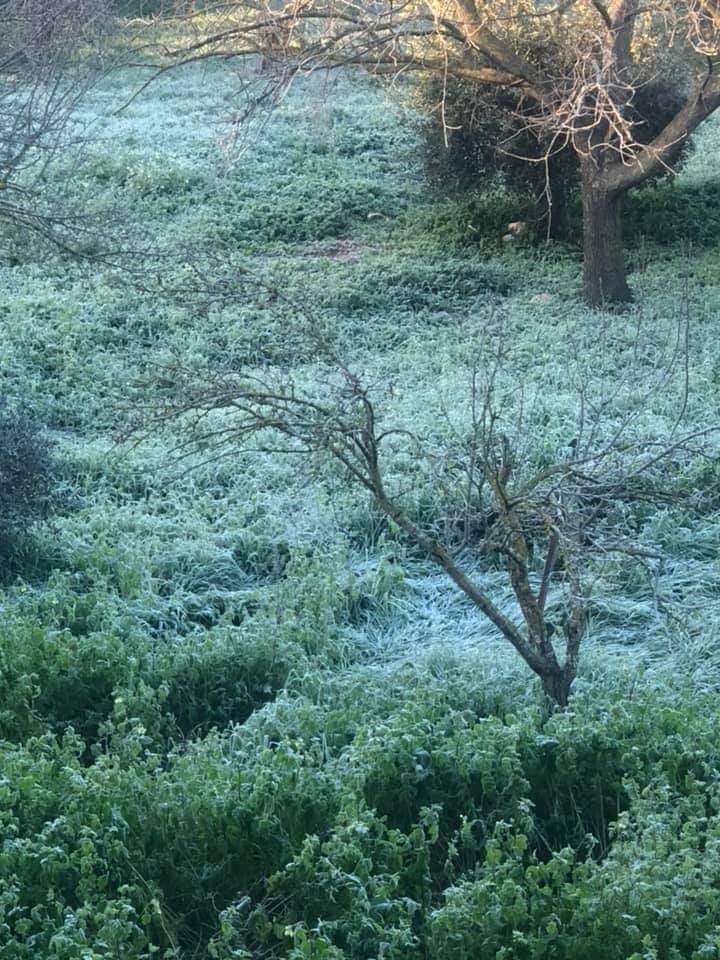
Im about 90 percent confident elevations above 800=-900 meters will see snow at some point between thursday and friday, but whether its accumulating snow, whether the timing of cold entry matches the fronts, whether the convection is strong enough for thundersnow, all of this is still on the table. Remember the EU and German so far are showing consistent light-moderate precipitation, while the german and GFS are showing an explosion of heavy precipitation, and the EU and German performed better in our last storm, with disagreement with GFS persisting up until +48 before the storm
Calm down and wait until the GEFS has 15/20 agreement, and either the EU or German agree on the timing (one of the two) on the entry
Things are looking good overall, but patience


 العرض العادي
