|
اقتباس: المشاركة الأصلية كتبت بواسطة hakamshara

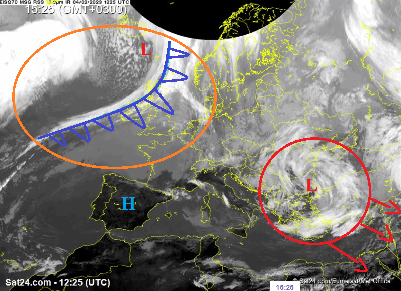
Well since everyone is silent let me be the one to take a chance on being wrong here and pointing out that just because the 500 hpa height is at its edge compared to past storms, for Amman, all the way up to ajloun, above 1000 meters for sure, there will be heavy wet snow monday night, on and off, into wedensday, with tuesday night proving more promising for 800 plus
I might be wrong, but theres enough evidence to take that chance. If even 20 percent of the cosmo precip which is backed by the EU and ICON is frozen, thats alot of snow, relative to the "failure" everyone is assuming this is
The height at its edge here is close to "strong" storms for the south, and they get plenty of snow. So calculate the middle and north as displaced karak eqiuvilants, and given history, thats not a terrible thing
come back to life guys
|
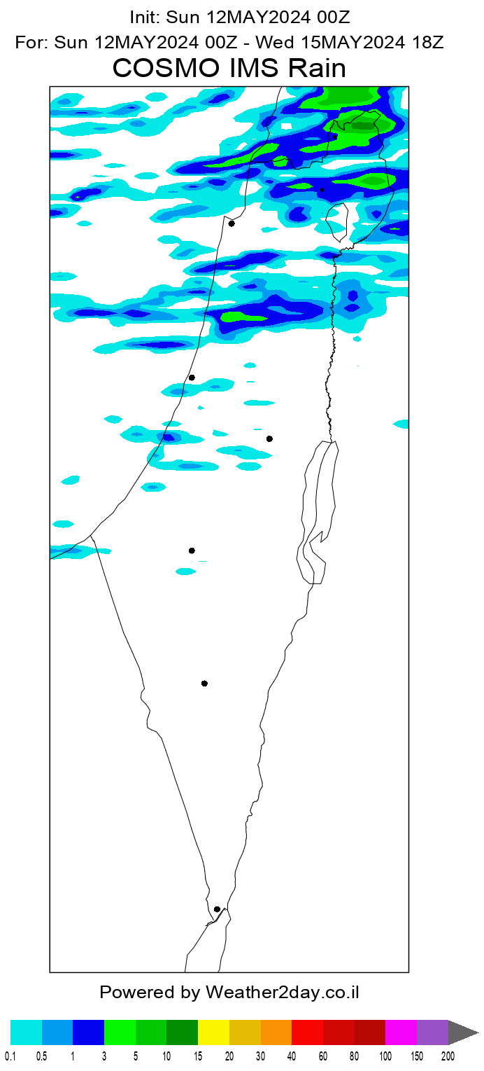
نعم صديقي .. الثلوج قد تطال مناطق 800 متر صباح الثلاثاء
وصباح الأربعاء وقد يحدث مفاجئات لكن لا اعتقد انها كبيرة
ما لم يحدث الاعجاز الالهي ويهطل الثلج ويتراكم
من يدري .. الحالات المعقده دائما ما تحدث فيها مفاجئات
اما سلبيه او ايجابيه
والله اعلم


 العرض العادي
